

Do you like to study the history of hurricanes? Maybe compare the different levels of impact of hurricanes with the same name? Just how do those storms get named anyway?
The hurricanes and tropical storms you hear about each Atlantic hurricane season get their names from six lists originated and recycled every six years by the World Meteorological Organization.
A name is retired and replaced when a storm with that name causes extreme property damage and loss of life.
Erin is the fifth name on the list for 2025.
Erin has a storied history. Hurricane Erin made an appearance in 1989, 1995, and 2001.
Tropical Storm Erin followed in 2007, 2013, and 2019. The most impactful was the 1995 Hurricane Erin. More on that later.
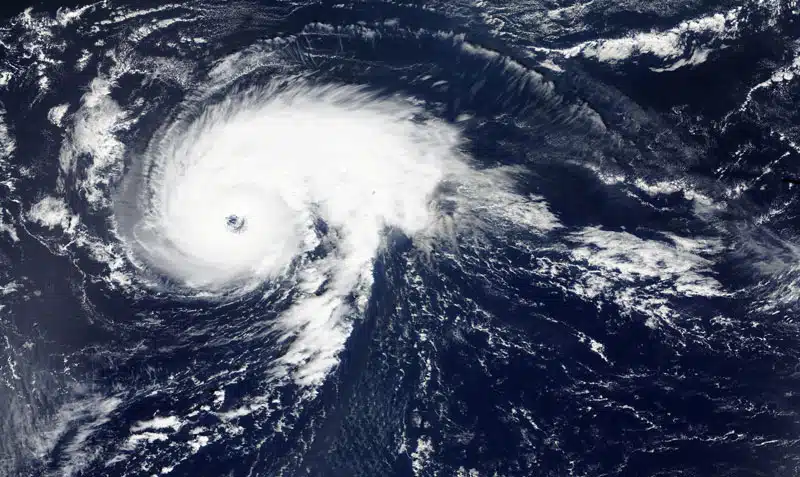
Hurricane Erin’s formation this year connected directly to its wind speed.
Phases of Tropical Cyclones
All named storms are a form of tropical cyclone — a rotating, organized system of clouds and thunderstorms that originates over tropical or subtropical waters and has a closed low-level circulation.
Phase 1: Tropical Depression
Early in a cyclone’s development, as a tropical depression, wind speeds are less than 39 mph.
Tropical depressions are not given names but are numbered and tracked in case they grow into tropical storms or hurricanes.
Phase 2: Tropical Storm
On August 11, 2025, a sufficiently powerful weather system developed with a sustained wind speed of 39 mph, Tropical Storm Erin made its debut and strengthened to 45 mph winds.
Phase 3: Hurricane
By August 15, Tropical Storm Erin was traveling across the Atlantic toward the Caribbean with sustained wind speeds of 70 mph. When that speed reached 74 mph later in the day, Hurricane Erin entered the record books.
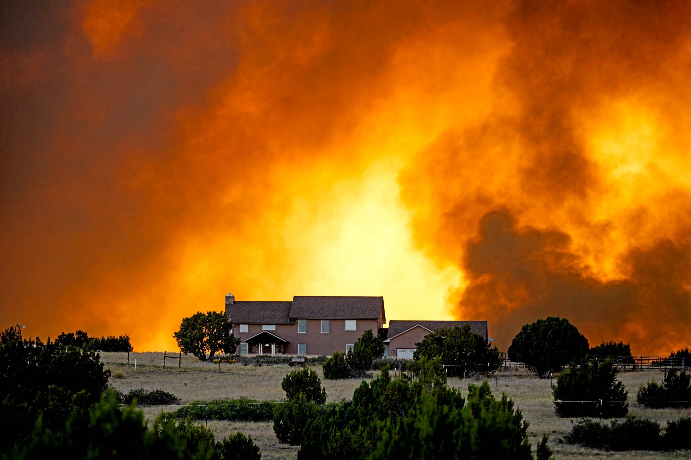
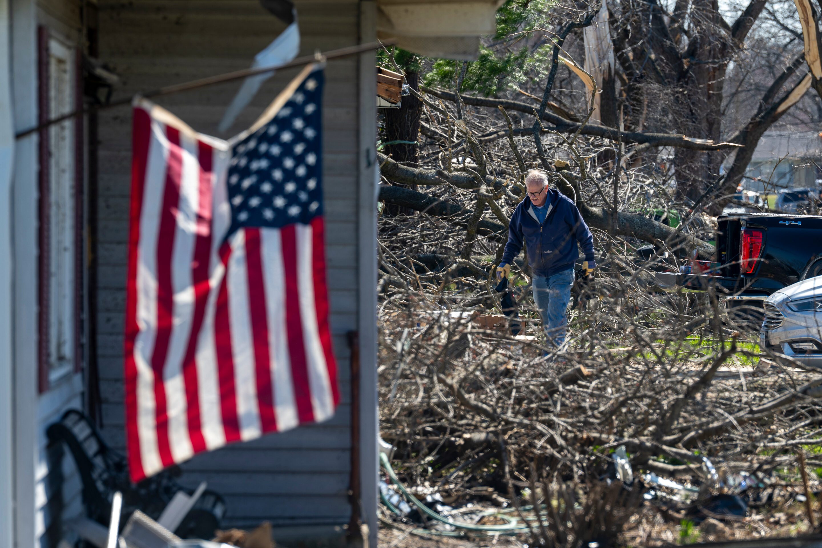
If you live in an area where such a storm system is expected, take all necessary precautions, keep up to date on reports of the storm’s path, and don’t underestimate the potential impact to your community.
When Was Hurricane Erin?
The Atlantic hurricane season officially runs from June 1 through November 30, with some tropical cyclone activity before and after those dates. Most activity occurs between mid-August and mid-October.
In 1989, 1995, and 2001, Erin grew into a hurricane. As the fifth named storm each season, Erin would be expected relatively early. But the dates of Erin’s activity shifted significantly.
Erin was active August 18-27 in 1989, July 31 through August 6 in 1995, and September 1-17 in 2001. This year’s Hurricane Erin strengthened to a Category 2 storm on August 15 and a Category 5 on August 16. At that point, Erin carried sustained winds of 160 mph. The storm’s strength continued to vary to Category 3 and back to Category 4 on August 18.
Where Did Hurricane Erin Hit?
Of the three historic hurricanes named Erin, only one made landfall.
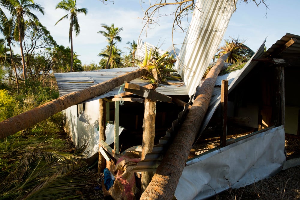
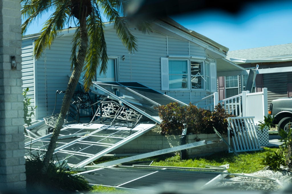
In 1995, Hurricane Erin made landfall twice, crossing Florida, part of the Gulf of Mexico, and hitting the Florida Panhandle.
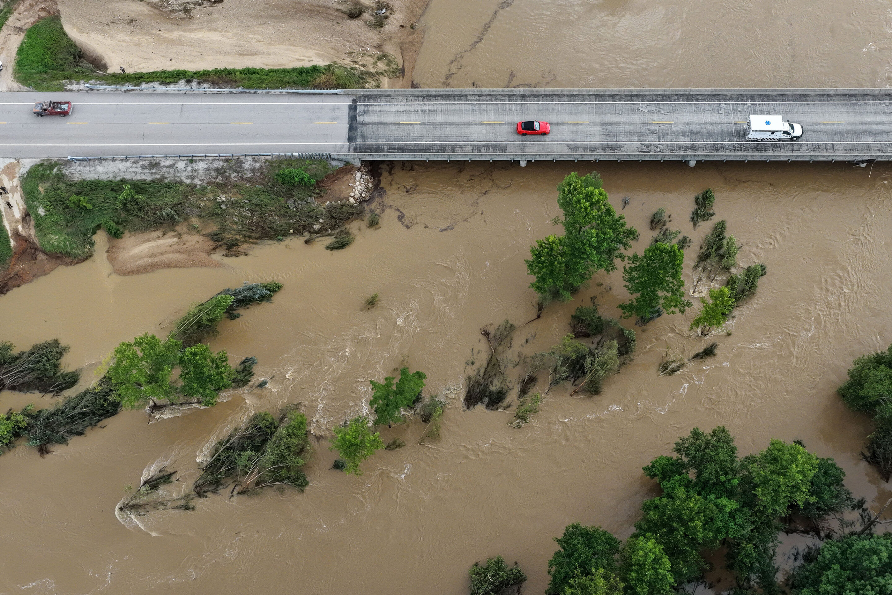
Hurricane Erin this year moved north and east in the Atlantic Ocean, causing heavy tides and rip currents along the U.S. East Coast before moving back across the Atlantic toward Europe.
What Category Was Hurricane Erin?
Hurricane Erin reached Category 2 status in 1989 and 1995. In 2001, Erin was a Category 3 hurricane. Fortunately, it remained at sea, passing east of Bermuda. Erin in 2025 was a Category 5 hurricane early in its life cycle, but weakened to a Category 1 as it moved away from the U.S. East Coast.
What Time Will Hurricane Erin Make Landfall?
There is no correlation between similarly named hurricanes in history, as the records of the three hurricanes named Erin show.
Researching, “What time did Hurricane Erin make landfall?” will not help you prepare for a potential Hurricane Erin in 2025.
With any current storm predicted to reach your region, stay up to date on weather forecasts and be aware of that specific storm’s estimated landfall.
With any severe storm, don’t make the mistake of waiting until the last minute to reach a safe area.
This year’s Tropical Storm Erin reached hurricane status on August 15 after causing death and damage as a tropical storm. There were concerns it could bring even more destruction as its winds increased to 160 mph and it reached Category 5. Because Erin remained at sea, those concerns were not realized. In fact, with Erin’s large size and high wind speeds, cooler, deeper waters across the Atlantic were brought nearer to the ocean surface. This cooling effect could help keep future hurricanes this season from gaining excessive strength.
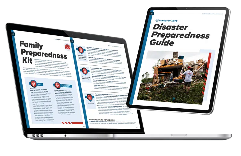
The Power of Preparedness
Ensure your family is protected in the face of unexpected challenges with our Disaster Preparedness Guide.
Topics Include:
— Family Communication Plan
— Evacuation Plans
— Care for Pets
— Weather Monitoring
Download Our Disaster Preparedness Guide!
Start your journey to preparedness now and download the guide to learn practical steps for facing any disaster confidently.
“*” indicates required fields
":" indicates required fields
How Many People Died in Hurricane Erin?
In 1995, Hurricane Erin caused 16 fatalities. Not all hurricane deaths are directly connected to the storm’s windspeed.
For example, two deaths indirectly attributed to Erin in Florida were heart attacks during the storm.
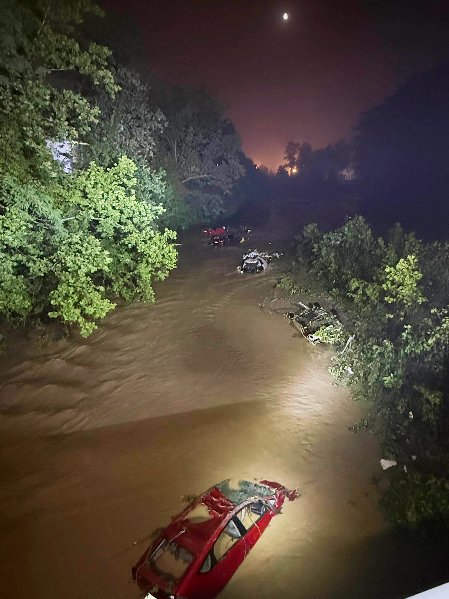
This year, sadly, Tropical Storm Erin caused significant flooding in the Cape Verde islands, killing nine people. With widespread property and infrastructure damage from the storm, the Cape Verde government issued a disaster declaration.
As Erin continues to progress toward the Caribbean, heavy rainfall across the northernmost Leeward Islands, the U.S. and the British Virgin Islands, as well as southern and eastern Puerto Rico, may lead to isolated flash and urban flooding, along with landslides and mudslides between August 15 and August 18. Erin achieved hurricane status on August 15, grew to a Category 5 storm, but weakened again as it continued across the Atlantic.
What Was the Path of Hurricane Erin?
In 1989, Hurricane Erin developed off the coast of West Africa and remained at sea, moving far north in the mid-Atlantic.
Hurricane Erin’s path in 1995 took it across Florida, into the Gulf of Mexico, and back into Florida before it dissipated inland.
In 2001, the most powerful Erin, a Category 3 storm, developed as it crossed the Atlantic from Africa before moving past Bermuda and northeast then northwest along the U.S. East Coast and toward Greenland.
This year’s Hurricane Erin is moving north through the Atlantic with varying strengths from Category 3 to 4. Despite remaining at sea, created dangerous rip currents in the Bahamas, along the eastern U.S. coast, and up to Atlantic Canada. No severe damage was reported as Erin shifted its course toward Europe.
Convoy of Hope & Hurricanes
Convoy of Hope, a faith-based nonprofit serving the poor in dozens of program countries around the world, responded to its first disaster in 1998 when flooding in Del Rio, Texas, followed that year’s Tropical Storm Charley.
Hurricane response continues to be an annual priority for Convoy.
Convoy’s 2024 response to Hurricane Helene.
Convoy’s 2024 Major Responses
In the 2024 Atlantic hurricane season, Hurricane Beryl broke two records — becoming the earliest Category 4 storm on June 30 and the earliest Category 5 on July 1.
Convoy quickly began meeting the needs of communities in Beryl’s path. Beryl’s first effects were felt in the Caribbean, where Convoy served more than 43,000 meals and distributed family food kits, hygiene kits, water filters, solar lamps, and generators.
To view Convoy’s response to Hurricane Ian, watch the video above.
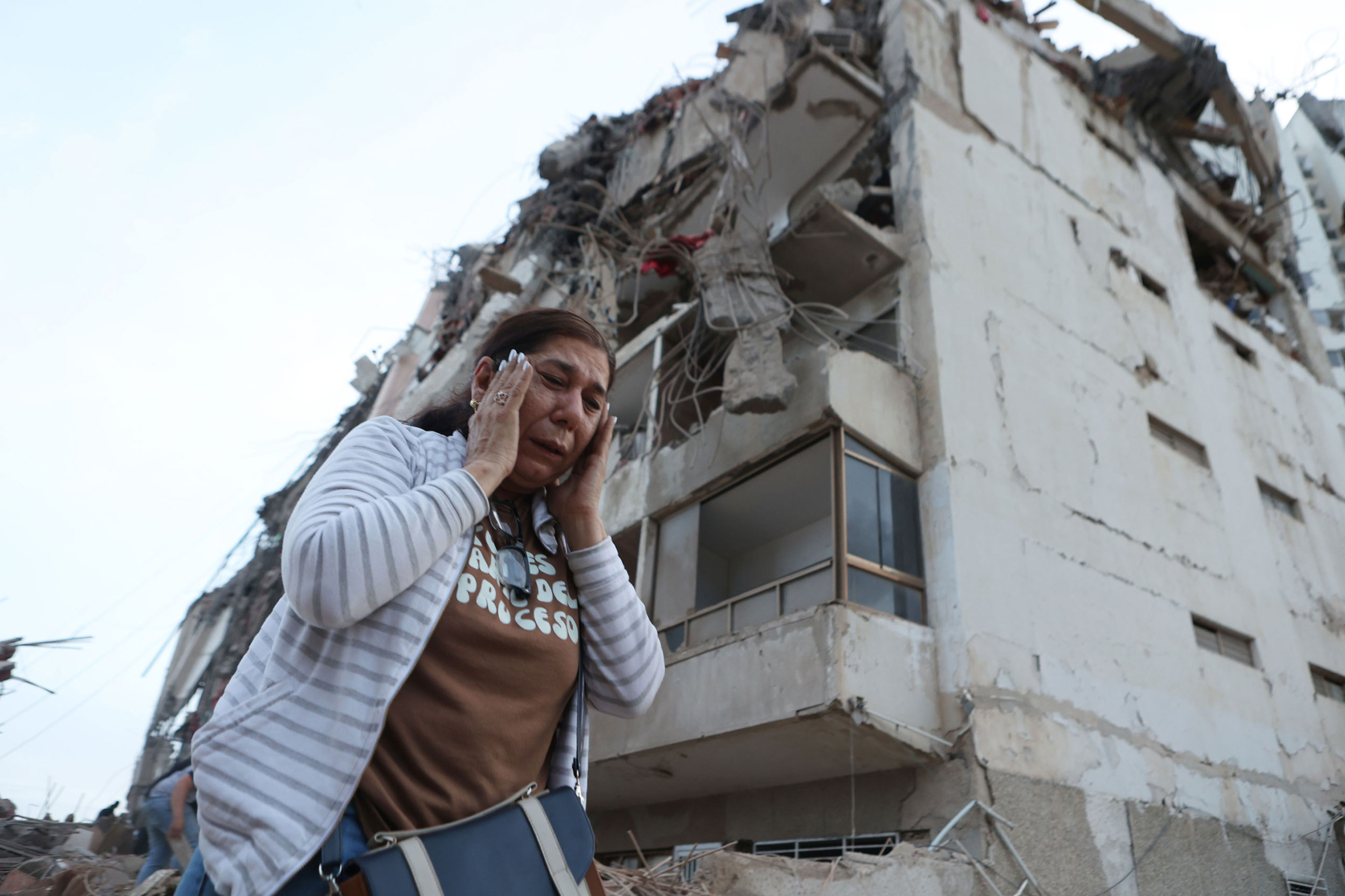
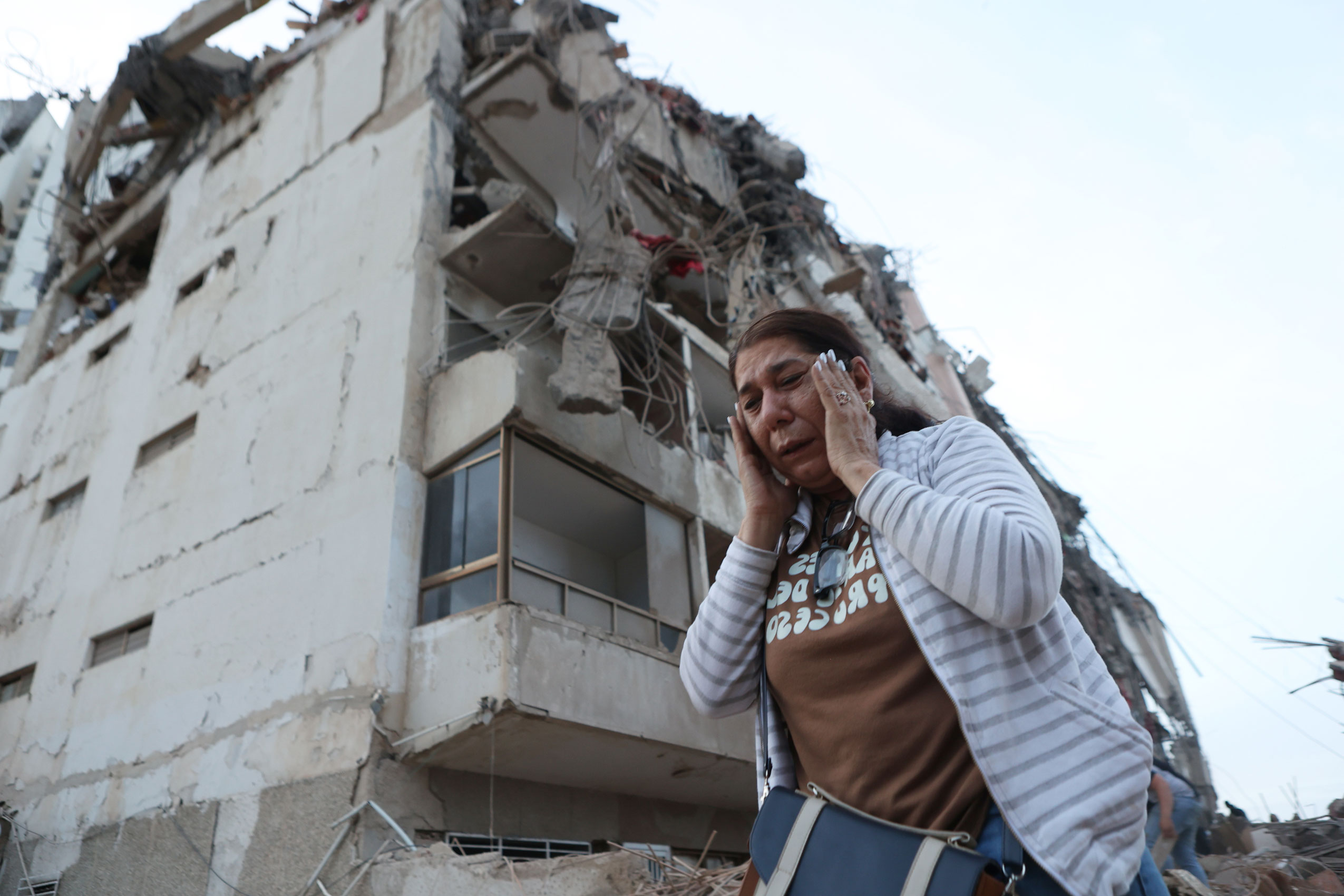
On September 26, Category 4 Hurricane Helene became the strongest recorded hurricane to strike Florida’s Big Bend region.
It was the deadliest hurricane since 2005’s Katrina, with more than 230 fatalities.
By November, Convoy had distributed more than 4 million pounds of resources in 85 communities across Florida and five other impacted states.
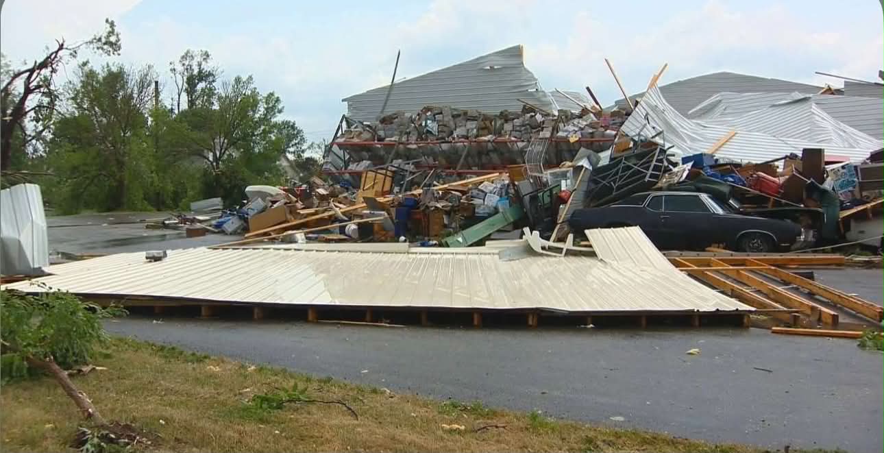
Hurricane Milton was the final major storm of the 2024 season and hit Florida with heavy rain and flooding even as the state continued to recover from Helene.
Convoy continued its regional response to include 27 communities recovering from Milton. Nearly 1 million pounds of resources were distributed.
Convoy of Hope Disaster Services responds to natural disasters around the world, offering help and hope to people facing some of the most challenging circumstances in their lives.
Convoy of Hope is a nonprofit, faith-based organization with a driving passion to feed the world through children’s feeding initiatives, community outreach, and disaster response.